English
 Français


Description
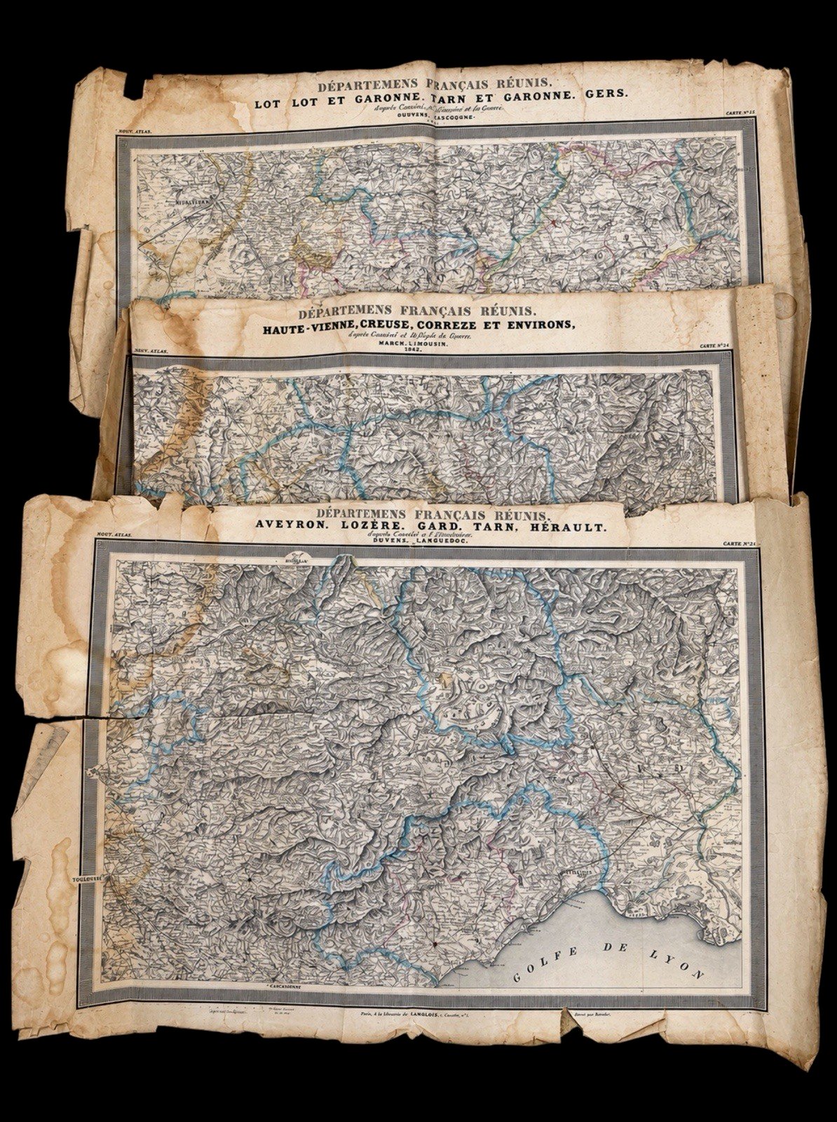
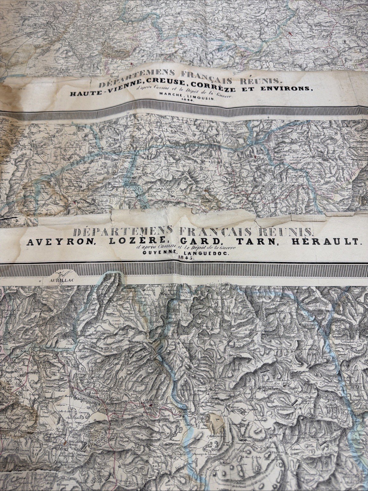
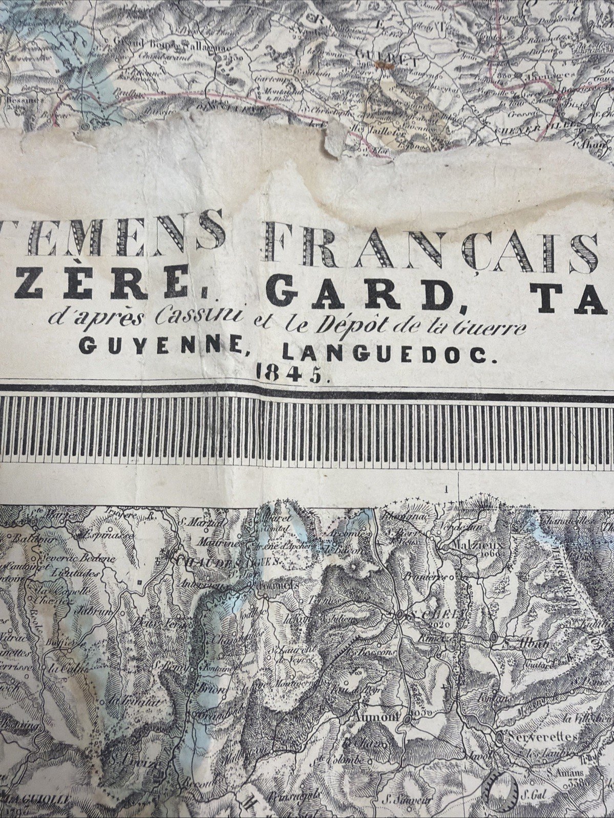
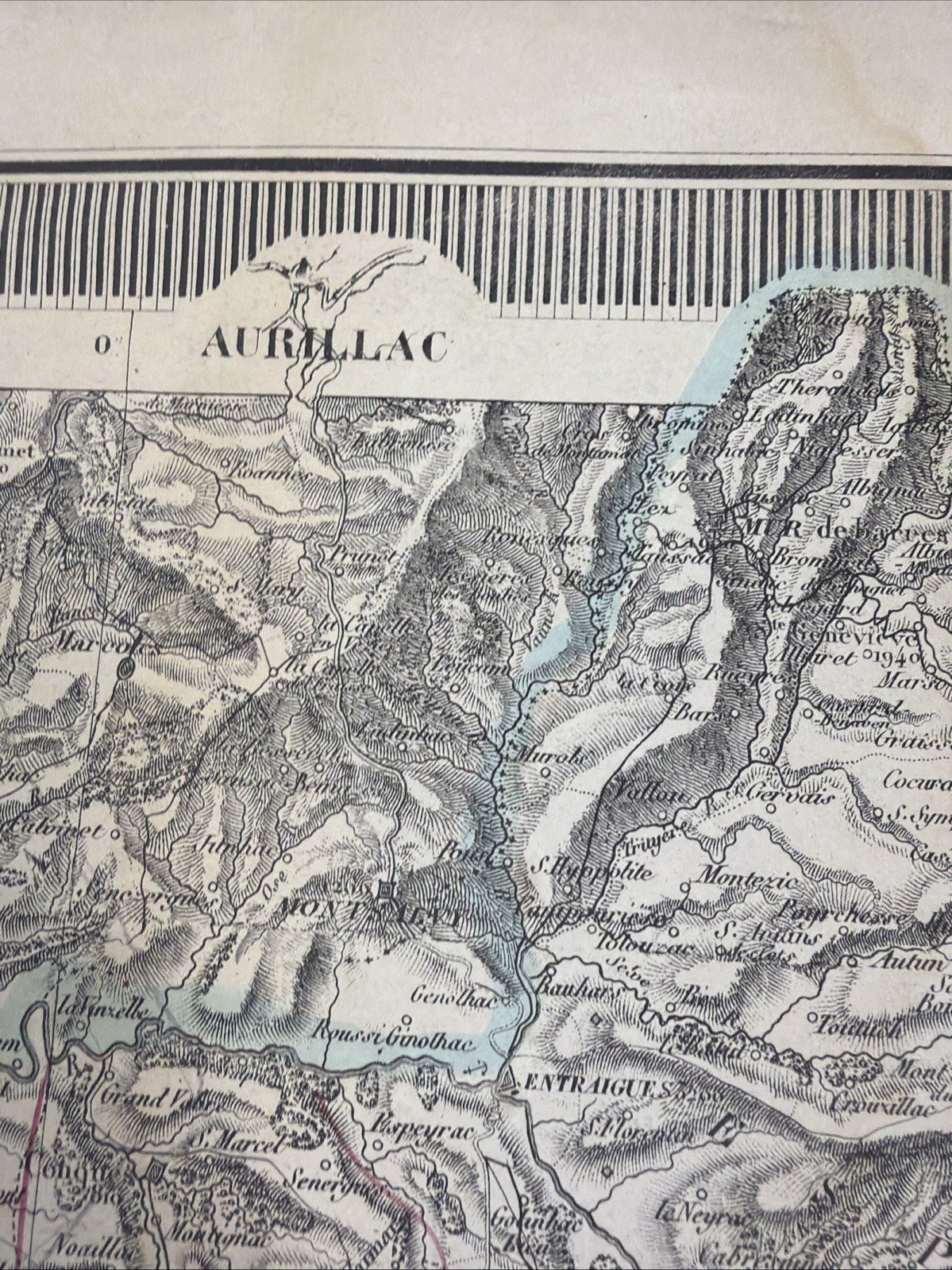
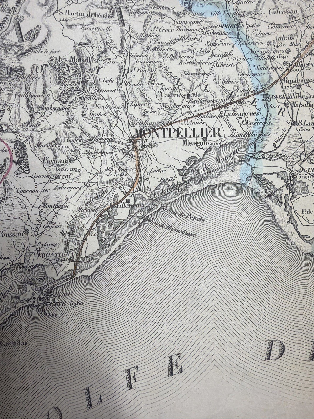
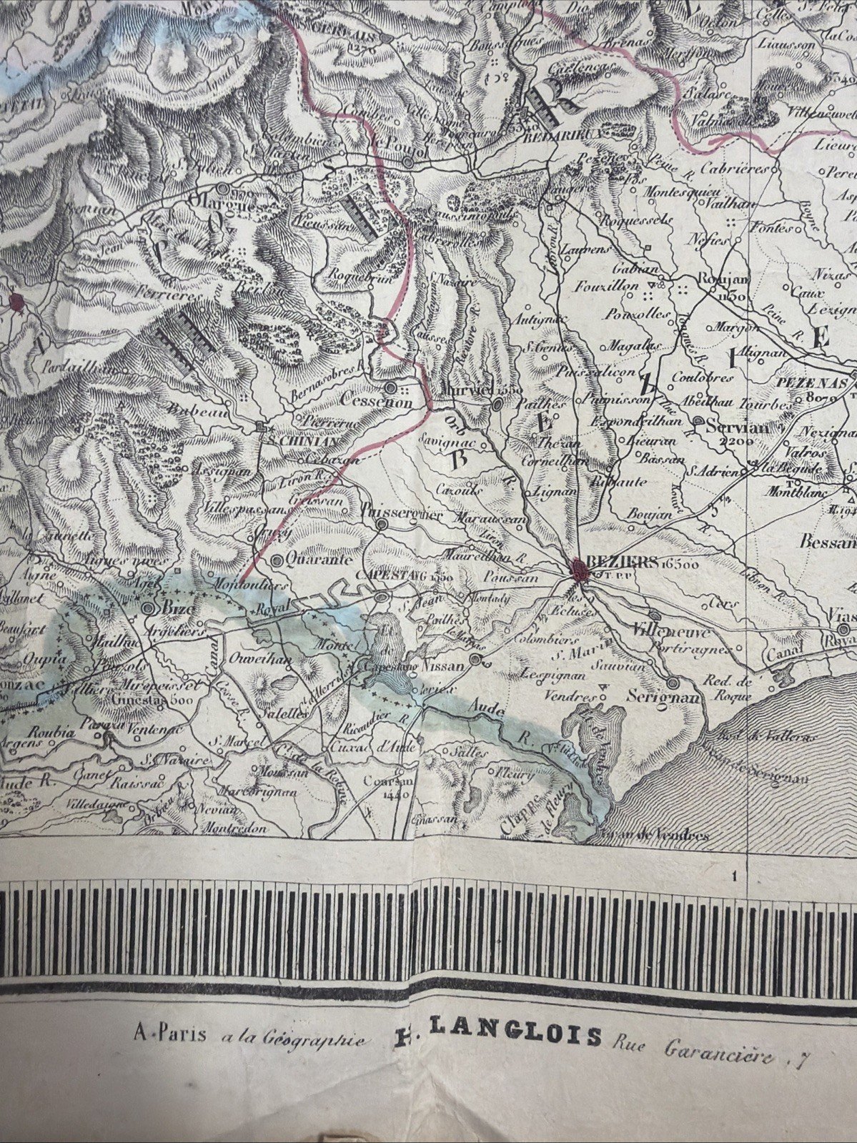
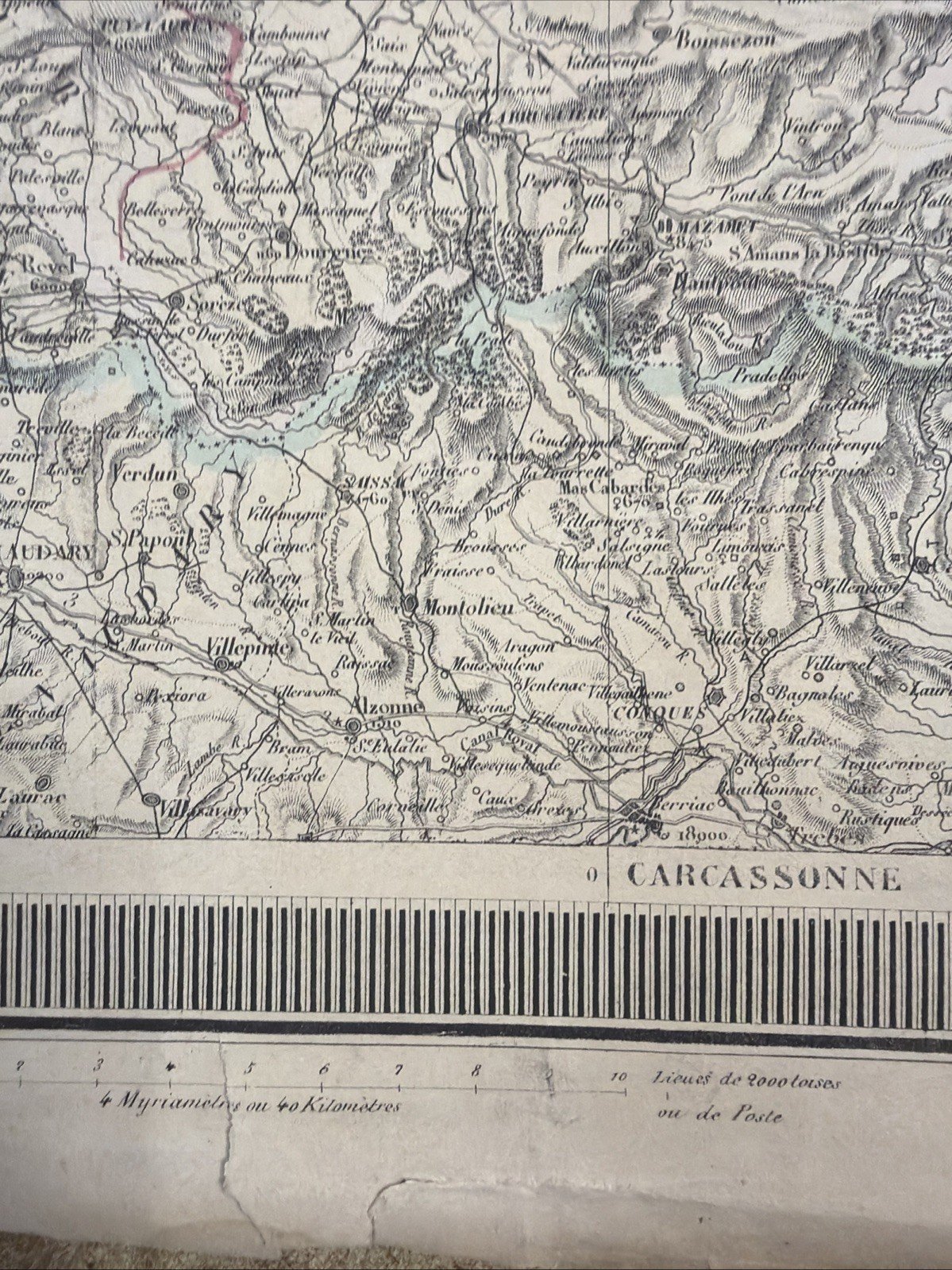
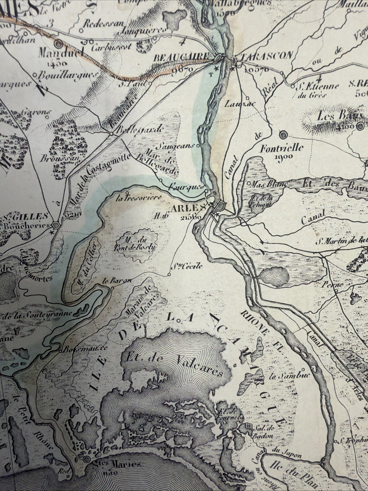
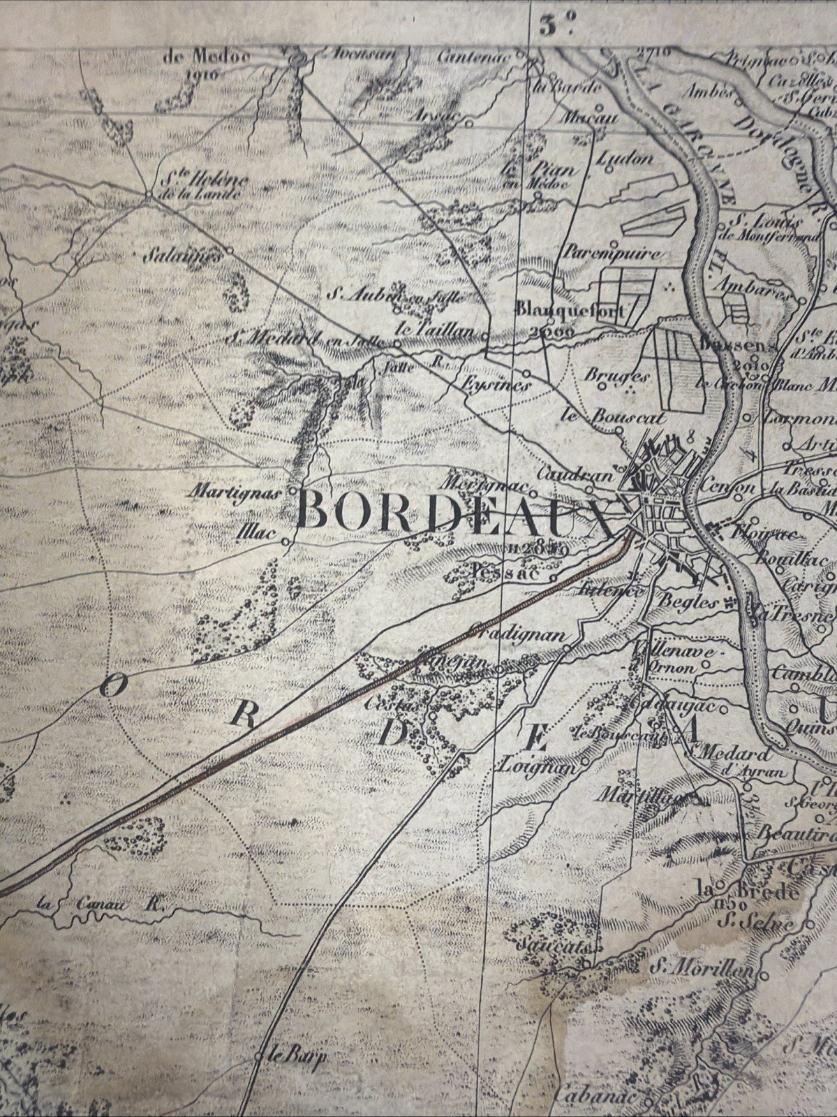
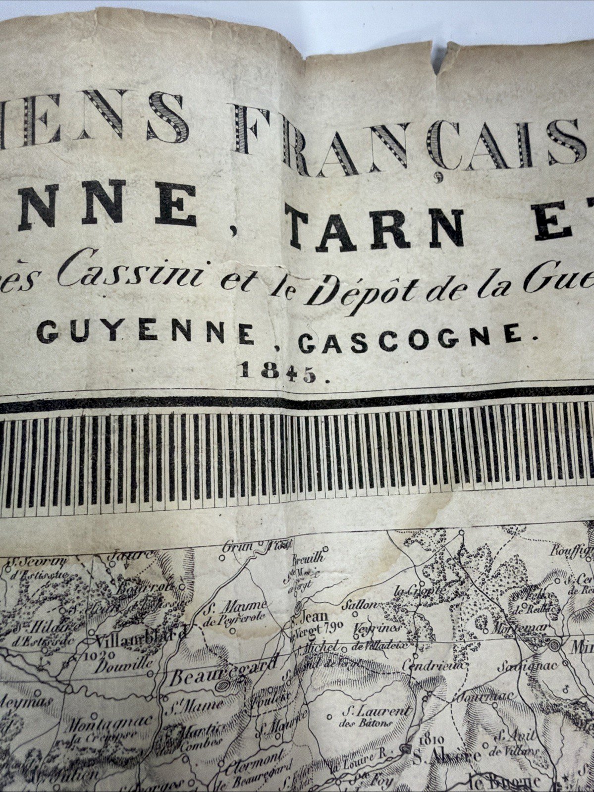
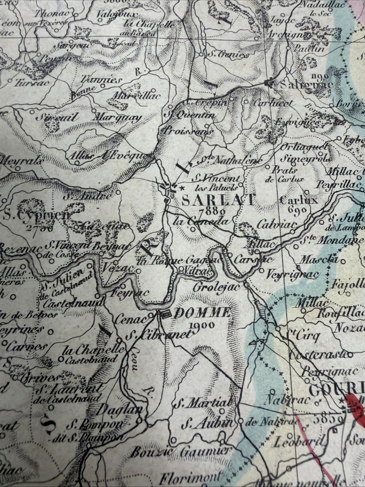
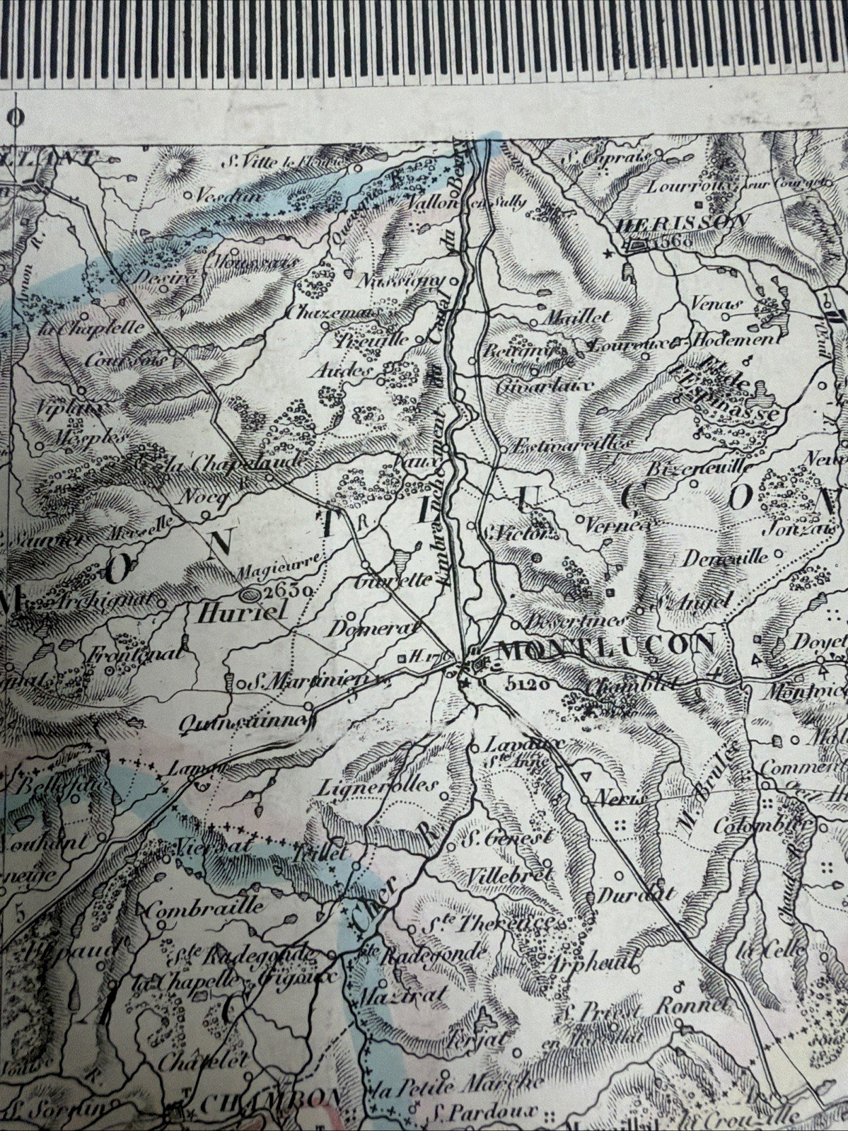
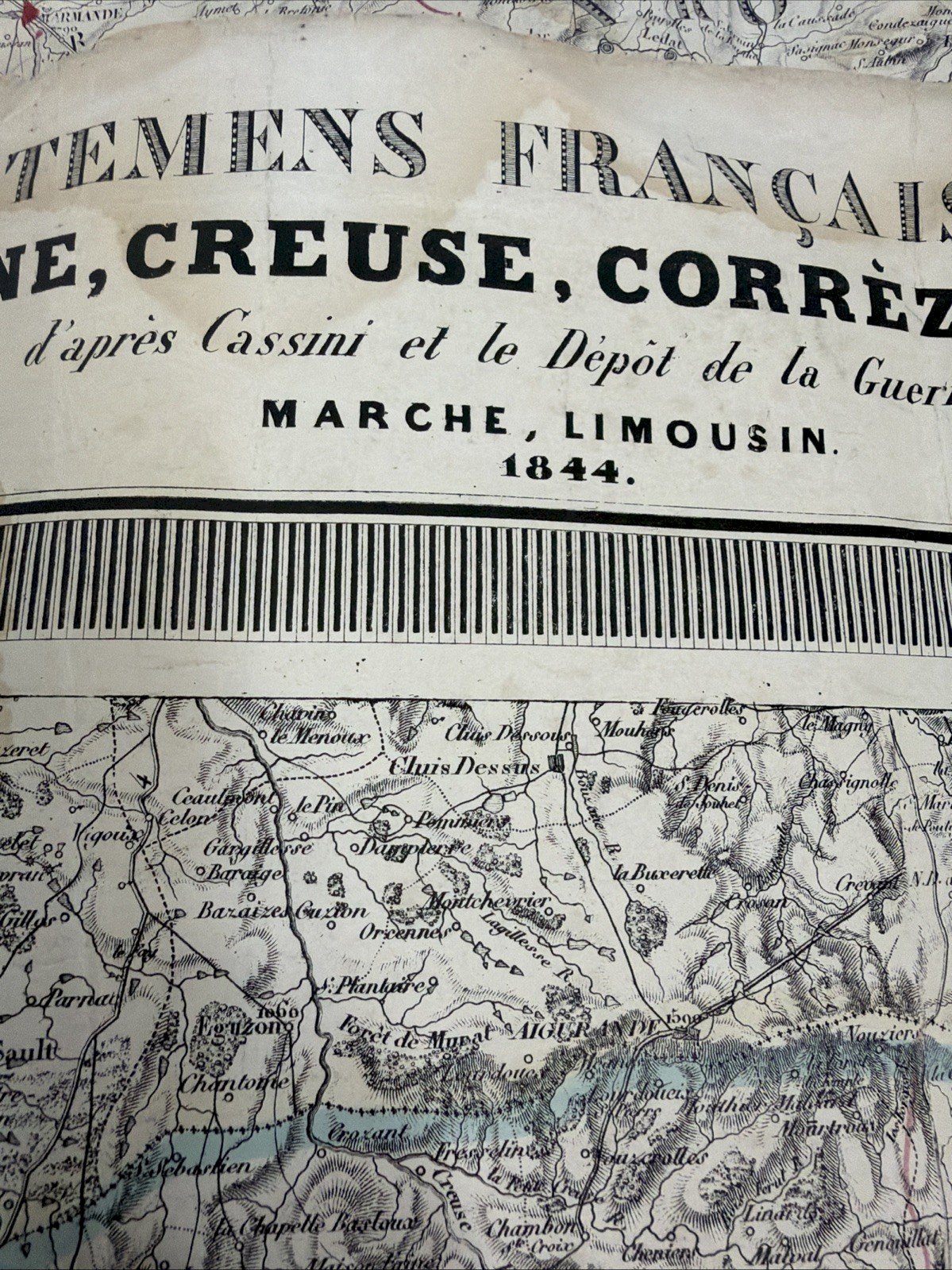
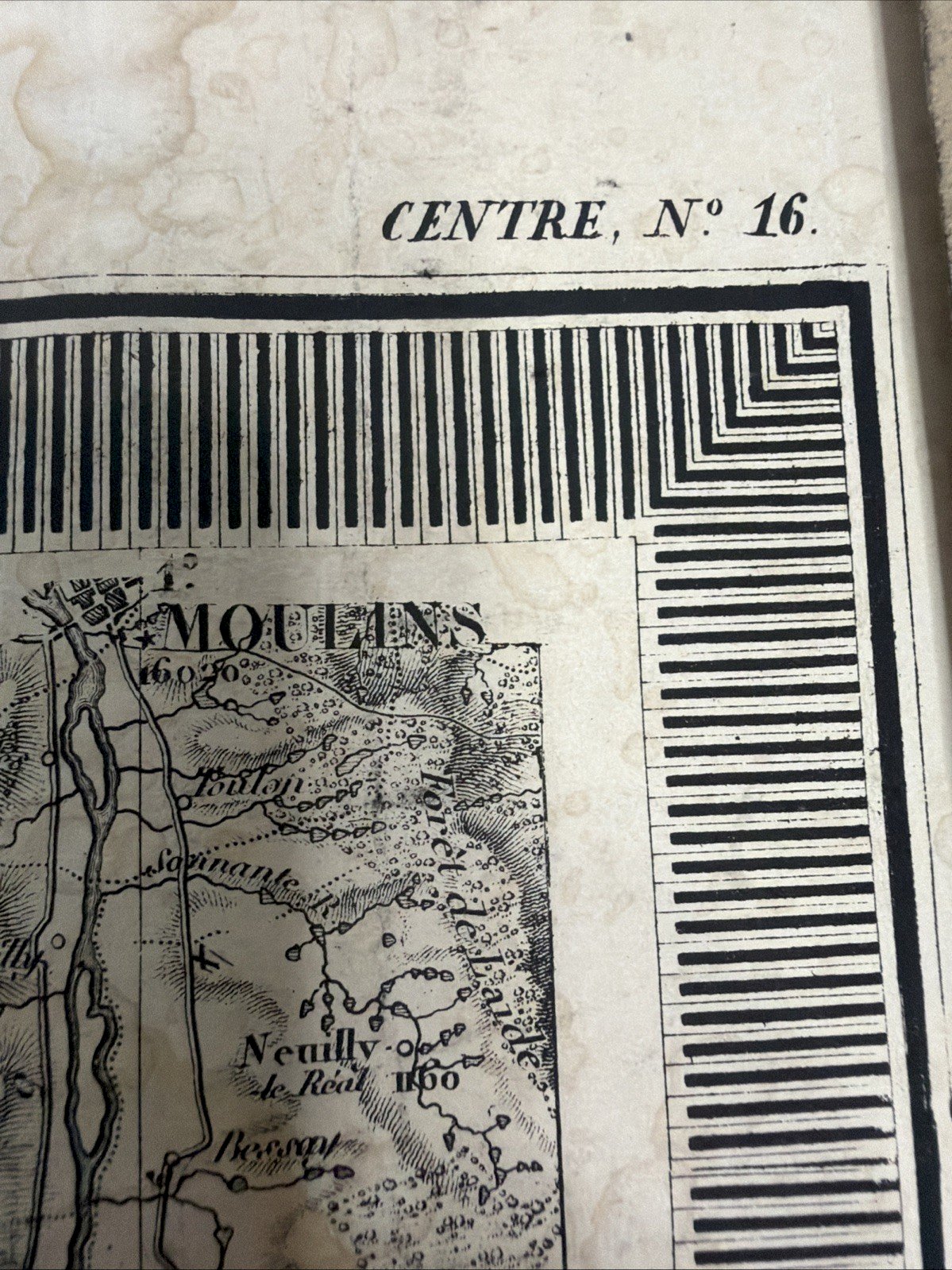
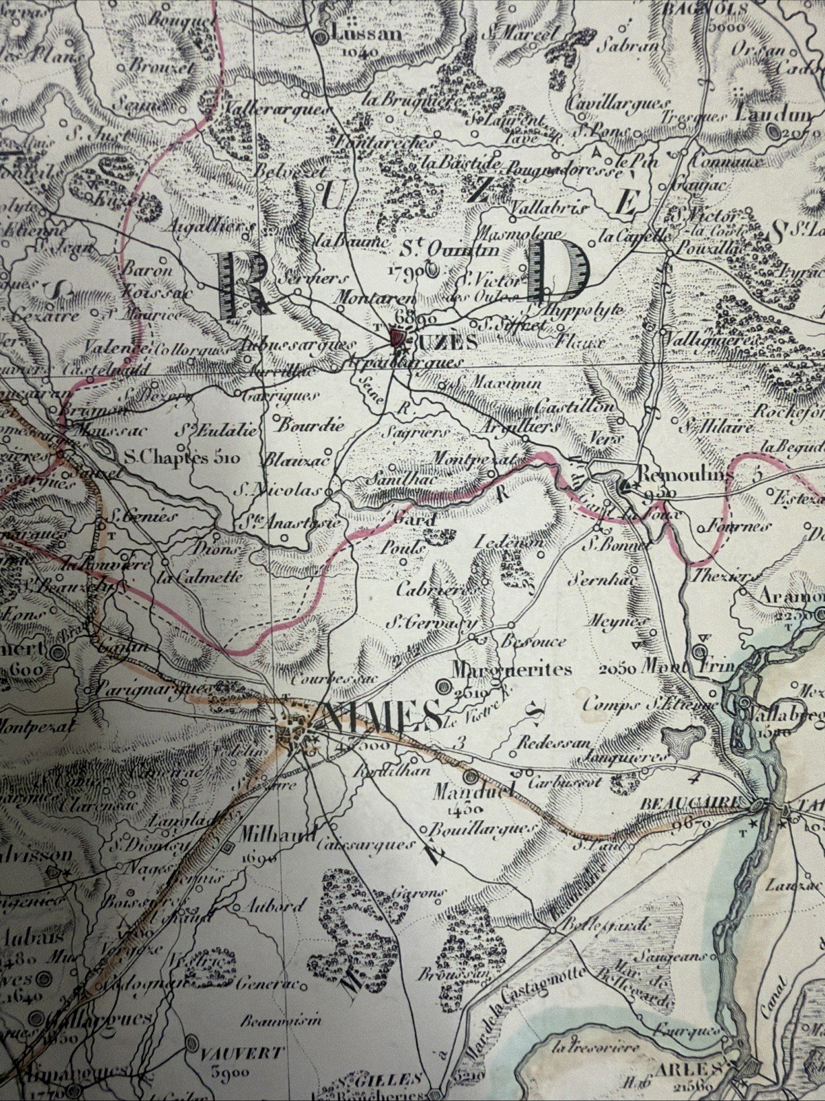
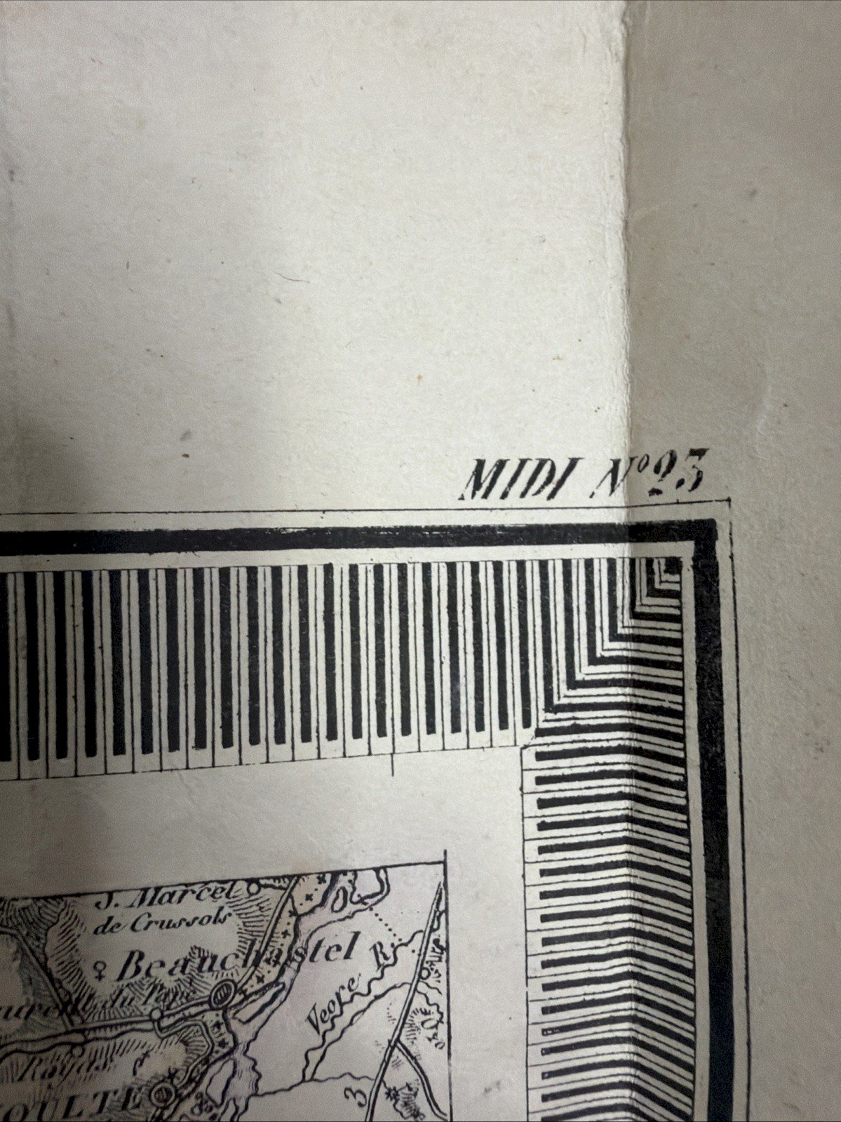
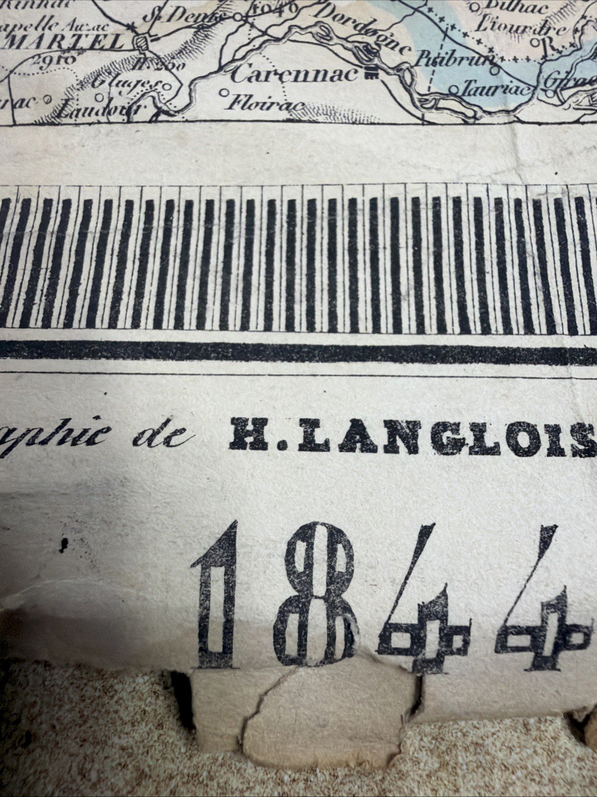
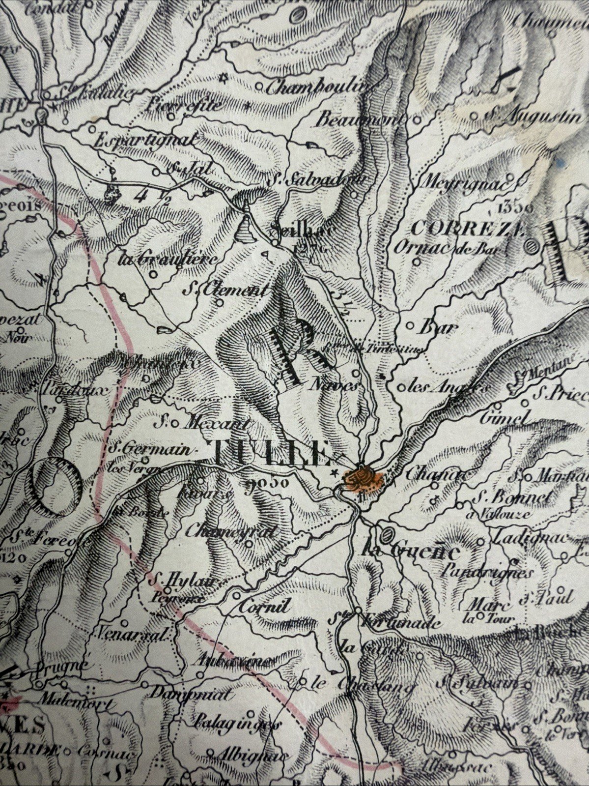
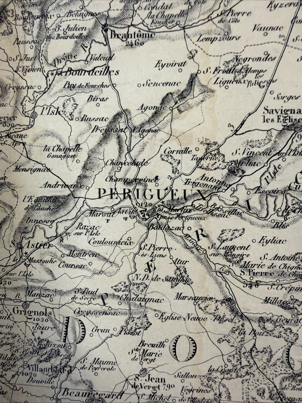
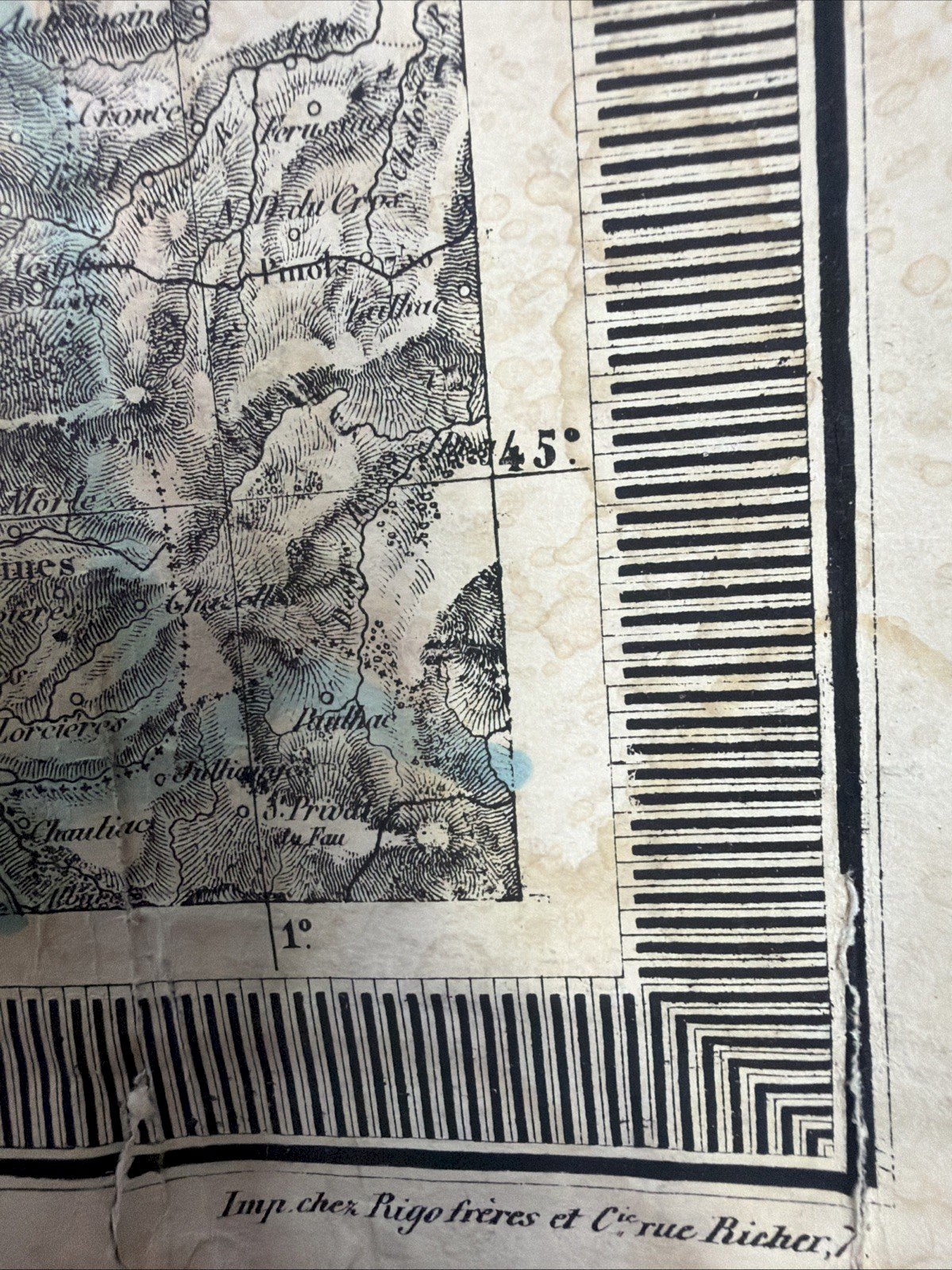
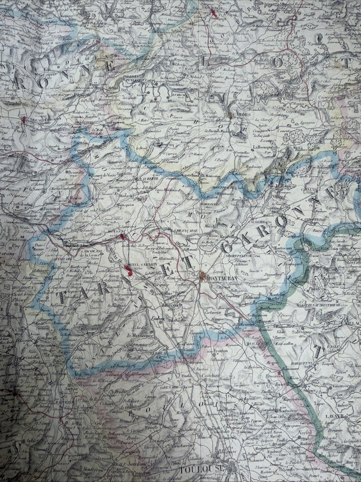
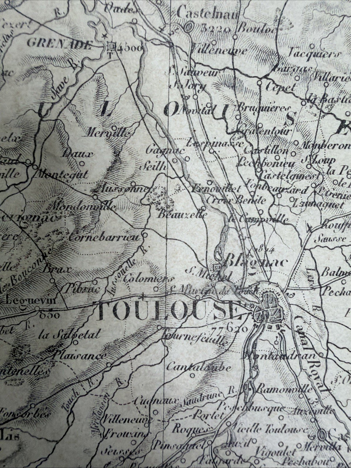
Exceptional set of three large original French maps from the 19th century, belonging to the series "Départemens Français Réunis," published in Paris by H. Langlois Geography and established particularly based on Cassini and the War Office. These three large sheets, of uniform size of approximately 82 × 62 cm each, form a remarkable cartographic ensemble dedicated to the center, southwest, and south of France. Dated from the mid-1840s, they offer an extremely detailed representation of French territory during the July Monarchy, at a time when French scientific cartography reached an exceptional degree of precision. The three maps: 1. Haute-Vienne – Creuse – Corrèze and surroundings Marche – Limousin Original map dated 1844. It covers notably the historical territories of Limousin and Marche, with a very detailed representation of Limoges, Guéret, Brive, Tulle, Aubusson, Bellac, Ussel, and countless municipalities, villages, roads, waterways, and reliefs. 2. Lot-et-Garonne – Tarn – Gers and surroundings Large original map dated 1845. A superb representation of the Southwest of France, particularly interesting for the territorial history of Agenais, Tarn, Gers, Gascony, and neighboring regions. 3. Aveyron – Lozère – Gard – Tarn – Hérault and surroundings Large sheet from the same series, from the mid-1840s, covering a vast territory extending from Rouergue and Cevennes to Languedoc and the Mediterranean basin. It constitutes a remarkable document for the study of Aveyron, Lozère, Gard, Tarn, and Hérault. ⸻ Particularly refined French cartography These maps stand out for their extraordinary density of drawing. They show: * reliefs represented by fine hachures; * mountains and valleys; * rivers and streams; * roads and communication routes; * cities, towns, villages, and place names; * administrative divisions; * altitude indications; * borders and territorial limits; * numerous topographical details. Some boundaries and routes are delicately heightened in blue, pink, and other old tones, giving these sheets a particularly appealing decorative presence. The extremely fine graphics testify to the craftsmanship of geographers, engravers, lithographers, and Parisian printers from the first half of the 19th century. Based on Cassini and the War Office The title expressly states that these maps were established "based on Cassini and the War Office." This mention is particularly important. The famous Cassini Map, the first scientific and geometric cartography of the entire kingdom of France, constitutes one of the great monuments of the history of European cartography. The War Office, responsible for French military cartography, subsequently significantly improved the topographical and geographical precision of the territory. These Langlois maps thus represent a fascinating testimony to the transition between the cartography of the Ancien Régime and modern cartography of the 19th century. H. Langlois – Geographer in Paris The maps bear the mention: "In Paris, at the Geography of H. Langlois." H. Langlois was a publisher and merchant of geographic maps in Paris. The series "Départemens Français Réunis" offered large sheets bringing together several neighboring departments in order to provide a much broader regional vision than that of the usual small departmental maps. Some sheets also bear the mention of the Rigo frères & Cie printing house, rue Richer in Paris. A particularly decorative set With their significant dimensions of 82 × 62 cm each, these maps possess a remarkable presence. Presented together and framed, they create a spectacular wall ensemble of nearly 2.50 meters in development. They will naturally find their place in: an old library, a cabinet of curiosities, an architect's office, a characterful home, a country house, a château, a private hotel, a collection of old maps or historical documents. Their natural patina, old colors, and almost calligraphic finesse of the cartography give them this particular poetry of documents that have traversed nearly two centuries. Condition Authentic old maps around 180 years old. They show normal signs related to their age and history: old folds, undulations, small tears or marginal fragilities, stains, foxing, marks, and paper wear. These elements are visible in the photographs and contribute to the authenticity and historical character of the ensemble. The maps remain very readable and retain a remarkable decorative presence. Sold as is, in accordance with the photographs. Dimensions Approximately 82 × 62 cm per map Thus three large homogeneous sheets of comparable size. Dating France – Paris – 1844 / 1845 / mid-1840s Period July Monarchy – 19th century Technique Large geographic map printed on paper with enhancements in old colors. Editorial provenance Geography of H. Langlois – Paris Based on: Cassini War Office Printing mentioned on some sheets: Rigo frères & Cie – Paris ⸻ Collecting interest A particularly appealing set for collectors of: old cartography – old maps – historical geography – maps of France – Cassini – War Office – French geography – 19th-century cartography – July Monarchy – regional history – local history – topography – departmental maps – old atlases – historical documents – colored maps – geographic engravings – old lithographs – Parisian geographers – H. Langlois – Rigo frères – Limousin – Marche – Haute-Vienne – Creuse – Corrèze – Limoges – Guéret – Aubusson – Brive – Tulle – Lot-et-Garonne – Agenais – Agen – Tarn – Albi – Castres – Gers – Auch – Gascony – Aveyron – Rouergue – Rodez – Lozère – Gévaudan – Mende – Gard – Nîmes – Cevennes – Hérault – Montpellier – Languedoc – Southwest – Occitanie – history of France – regional collection – French heritage – antique map – old map France – French antique map – 19th century map – Cassini map – historical map France – French cartography – antique geography – collector map – wall map – large antique map. A coherent set, rare on the market when preserved in the form of several large sheets from the same series. The three maps are sold only as a set.
Réf :
#409562
Related Products


Comments
Rare set of 3 large original maps of France 1844 H. Langlois Cassini
490€
77260 La-Ferté-sous-Jouarre
Ce site contient des liens d’affiliation pour lesquels je peux recevoir une compensation.
Description
Exceptional set of three large original French maps from the 19th century, belonging to the series "Départemens Français Réunis," published in Paris by H. Langlois Geography and established particularly based on Cassini and the War Office. These three large sheets, of uniform size of approximately 82 × 62 cm each, form a remarkable cartographic ensemble dedicated to the center, southwest, and south of France. Dated from the mid-1840s, they offer an extremely detailed representation of French territory during the July Monarchy, at a time when French scientific cartography reached an exceptional degree of precision. The three maps: 1. Haute-Vienne – Creuse – Corrèze and surroundings Marche – Limousin Original map dated 1844. It covers notably the historical territories of Limousin and Marche, with a very detailed representation of Limoges, Guéret, Brive, Tulle, Aubusson, Bellac, Ussel, and countless municipalities, villages, roads, waterways, and reliefs. 2. Lot-et-Garonne – Tarn – Gers and surroundings Large original map dated 1845. A superb representation of the Southwest of France, particularly interesting for the territorial history of Agenais, Tarn, Gers, Gascony, and neighboring regions. 3. Aveyron – Lozère – Gard – Tarn – Hérault and surroundings Large sheet from the same series, from the mid-1840s, covering a vast territory extending from Rouergue and Cevennes to Languedoc and the Mediterranean basin. It constitutes a remarkable document for the study of Aveyron, Lozère, Gard, Tarn, and Hérault. ⸻ Particularly refined French cartography These maps stand out for their extraordinary density of drawing. They show: * reliefs represented by fine hachures; * mountains and valleys; * rivers and streams; * roads and communication routes; * cities, towns, villages, and place names; * administrative divisions; * altitude indications; * borders and territorial limits; * numerous topographical details. Some boundaries and routes are delicately heightened in blue, pink, and other old tones, giving these sheets a particularly appealing decorative presence. The extremely fine graphics testify to the craftsmanship of geographers, engravers, lithographers, and Parisian printers from the first half of the 19th century. Based on Cassini and the War Office The title expressly states that these maps were established "based on Cassini and the War Office." This mention is particularly important. The famous Cassini Map, the first scientific and geometric cartography of the entire kingdom of France, constitutes one of the great monuments of the history of European cartography. The War Office, responsible for French military cartography, subsequently significantly improved the topographical and geographical precision of the territory. These Langlois maps thus represent a fascinating testimony to the transition between the cartography of the Ancien Régime and modern cartography of the 19th century. H. Langlois – Geographer in Paris The maps bear the mention: "In Paris, at the Geography of H. Langlois." H. Langlois was a publisher and merchant of geographic maps in Paris. The series "Départemens Français Réunis" offered large sheets bringing together several neighboring departments in order to provide a much broader regional vision than that of the usual small departmental maps. Some sheets also bear the mention of the Rigo frères & Cie printing house, rue Richer in Paris. A particularly decorative set With their significant dimensions of 82 × 62 cm each, these maps possess a remarkable presence. Presented together and framed, they create a spectacular wall ensemble of nearly 2.50 meters in development. They will naturally find their place in: an old library, a cabinet of curiosities, an architect's office, a characterful home, a country house, a château, a private hotel, a collection of old maps or historical documents. Their natural patina, old colors, and almost calligraphic finesse of the cartography give them this particular poetry of documents that have traversed nearly two centuries. Condition Authentic old maps around 180 years old. They show normal signs related to their age and history: old folds, undulations, small tears or marginal fragilities, stains, foxing, marks, and paper wear. These elements are visible in the photographs and contribute to the authenticity and historical character of the ensemble. The maps remain very readable and retain a remarkable decorative presence. Sold as is, in accordance with the photographs. Dimensions Approximately 82 × 62 cm per map Thus three large homogeneous sheets of comparable size. Dating France – Paris – 1844 / 1845 / mid-1840s Period July Monarchy – 19th century Technique Large geographic map printed on paper with enhancements in old colors. Editorial provenance Geography of H. Langlois – Paris Based on: Cassini War Office Printing mentioned on some sheets: Rigo frères & Cie – Paris ⸻ Collecting interest A particularly appealing set for collectors of: old cartography – old maps – historical geography – maps of France – Cassini – War Office – French geography – 19th-century cartography – July Monarchy – regional history – local history – topography – departmental maps – old atlases – historical documents – colored maps – geographic engravings – old lithographs – Parisian geographers – H. Langlois – Rigo frères – Limousin – Marche – Haute-Vienne – Creuse – Corrèze – Limoges – Guéret – Aubusson – Brive – Tulle – Lot-et-Garonne – Agenais – Agen – Tarn – Albi – Castres – Gers – Auch – Gascony – Aveyron – Rouergue – Rodez – Lozère – Gévaudan – Mende – Gard – Nîmes – Cevennes – Hérault – Montpellier – Languedoc – Southwest – Occitanie – history of France – regional collection – French heritage – antique map – old map France – French antique map – 19th century map – Cassini map – historical map France – French cartography – antique geography – collector map – wall map – large antique map. A coherent set, rare on the market when preserved in the form of several large sheets from the same series. The three maps are sold only as a set.
Réf :
#409562